Browse Maps
Explore historical maps organized by time period

Map of the British Empire (1886)
A striking imperial map showing the vast extent of the British Empire at its height, when it controlled a quarter of the world's surface.
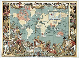
British Empire Map (1886)
The Imperial Federation was a series of proposals in the late 19th and early 20th centuries to create a federal union to replace the existing British

USGS Topographic Map
The United States Geological Survey (USGS), founded as the Geological Survey, is an agency of the United States Department of the Interior whose work
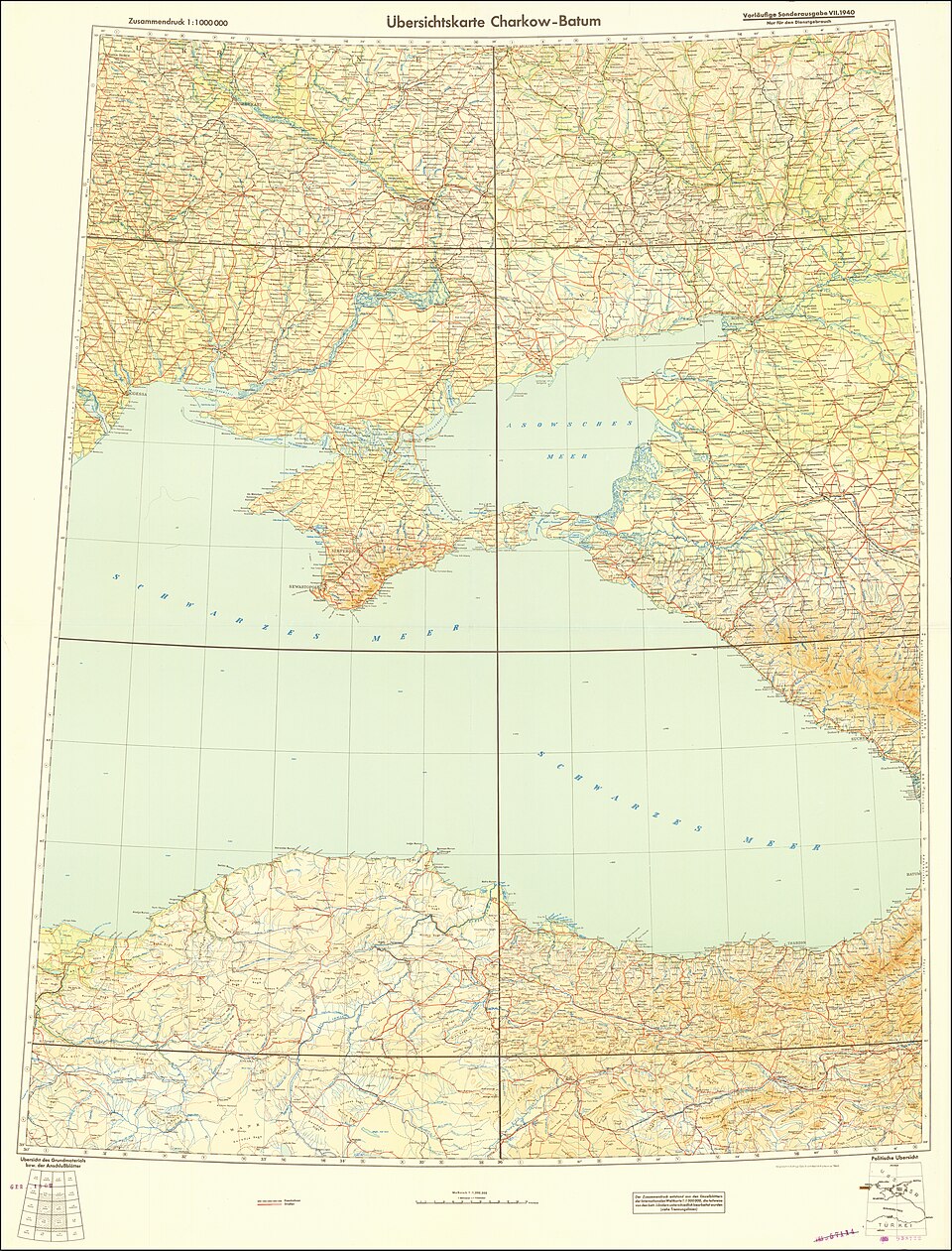
Soviet Military Map
The Soviet Union created the most comprehensive mapping of the entire world ever attempted, mapping foreign countries in extraordinary detail for mili
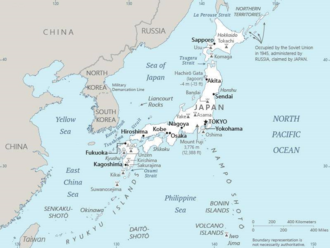
Japanese Map of Asia (1914)
The earliest known term used for maps in Japan is believed to be kata, which was probably in use until roughly the 8th century. During the Nara period

Dymaxion Map (Fuller)
The Dymaxion map projection, also called the Fuller projection, is a kind of polyhedral map projection of the Earth's surface onto the unfolded net of
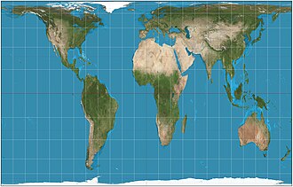
Peters Projection World Map
The Gall–Peters projection is a rectangular, equal-area map projection. Like all equal-area projections, it distorts most shapes. It is a cylindrica
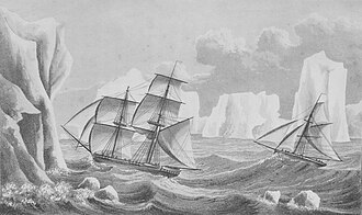
Map of Antarctica (1940s)
The history of Antarctica emerges from early Western theories of a vast continent, known as Terra Australis, believed to exist in the far south of the
Scramble for Africa (1885)

Louisiana Purchase Map (1803)
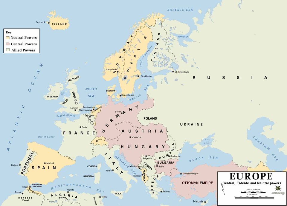
World War I Map (1914-1918)
Cold War World Map (1947-1991)
Our Partners
Trusted partner applications powering global data and insights