Browse Maps
Explore historical maps organized by time period
Blaeu World Map (1664)
Joan Blaeu's stunning double-hemisphere world map from the Atlas Maior, considered one of the finest achievements of Dutch Golden Age cartography.
Cassini Map of France (1789)
The first topographic map of an entire country, based on triangulation surveys — a milestone in scientific cartography.
Blaeu Atlas Maior — World
The Atlas Maior is the final version of Joan Blaeu's atlas, published in Amsterdam between 1662 and 1672, in Latin, French, Dutch, German and Spanish,
Cassini Map of France
The Cassini Map or Academy's Map is the first topographic and geometric map made of the Kingdom of France as a whole. It was compiled by the Cassini f
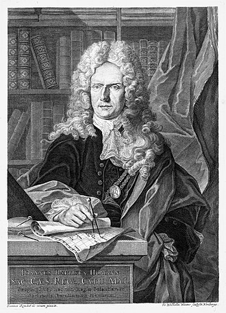
Homann Map of Africa
Johann Baptist Homann was a German geographer and cartographer, who also made maps of the Americas. From the Nuremberg publishing house of Johann Bap
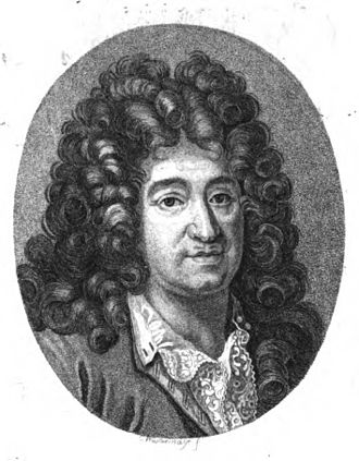
Jaillot Map of North America
Alexis-Hubert Jaillot was a geographer and French cartographer, publisher at Paris, from the late 17th century and beginning of the 18th century, in t

Coronelli Globe Gores — Asia
Vincenzo Maria Coronelli was an Italian Franciscan friar, cosmographer, cartographer, publisher, and encyclopedist known in particular for his atlases

Map of South America (1700)
Guillaume Delisle, also spelled Guillaume de l'Isle, or Guillelmo Delille was a French cartographer known for his popular and accurate maps of Europe
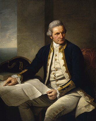
Cook's Chart of New Zealand
Captain James Cook was a British Royal Navy officer, explorer, and cartographer who led three voyages of exploration to the Pacific and Southern Ocean
Ottoman Empire Map (1683)
Mughal Empire Map (1700)
Our Partners
Trusted partner applications powering global data and insights